|
 |
Capitol Grounds Expansion |
Capitol Grounds Expansion
When the City of Jefferson was laid out and platted before the first sale of lots, which occurred in May 1823, the three commissioners and surveyors had a definite plan for the City of Jefferson which is reflected in this plat map. It was the framework upon which the subsequent sales of land would be based. In the Revised Statute of Missouri, Chapter 446, dated December 19, 1822, the three commissioners were appointed and in paragraph 4 were instructed to reserve four lots from sale for the purpose of the residence of future Governors of the State and a temporary meeting place for the Legislature when meetings were held according to law. The four adjacent squares of land were to be used for the construction of a state house.
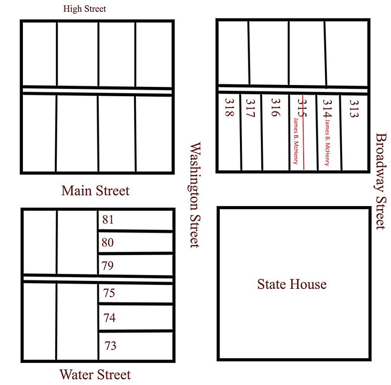
In paragraph 10 of the same statute, the commissioners were instructed to condemn four adjoining squares of land and four additional squares. In paragraph 11 they were instructed to reserve those squares to be utilized, one square each, for the construction of a Governor's residence, penitentiary, hospital and seminary of learning. Lots # 45 thru # 113 referred to above are bounded by Harrison St. on the west, Adams St. on the east, Water St. on the north and Main St. (Capitol Ave.) on the south. This includes the square dedicated to the original 1826 capitol and the second 1847 capitol.

In the mid 1850's the Legislature foresaw the need to increase the lands which surrounded the capitol and in 1857 set about buying those residential properties. The properties selected for acquisition were the north half of the block situated south of the capitol grounds, the full block situated east of the capitol grounds and the north half of the block situated southeast of the capitol grounds. In the map below the extent of the original capitol grounds are bounded in red while the expansion of the capitol grounds, finally completed in 1859, is bounded in brown. The extent of the original portion of the capitol building is bounded in blue.